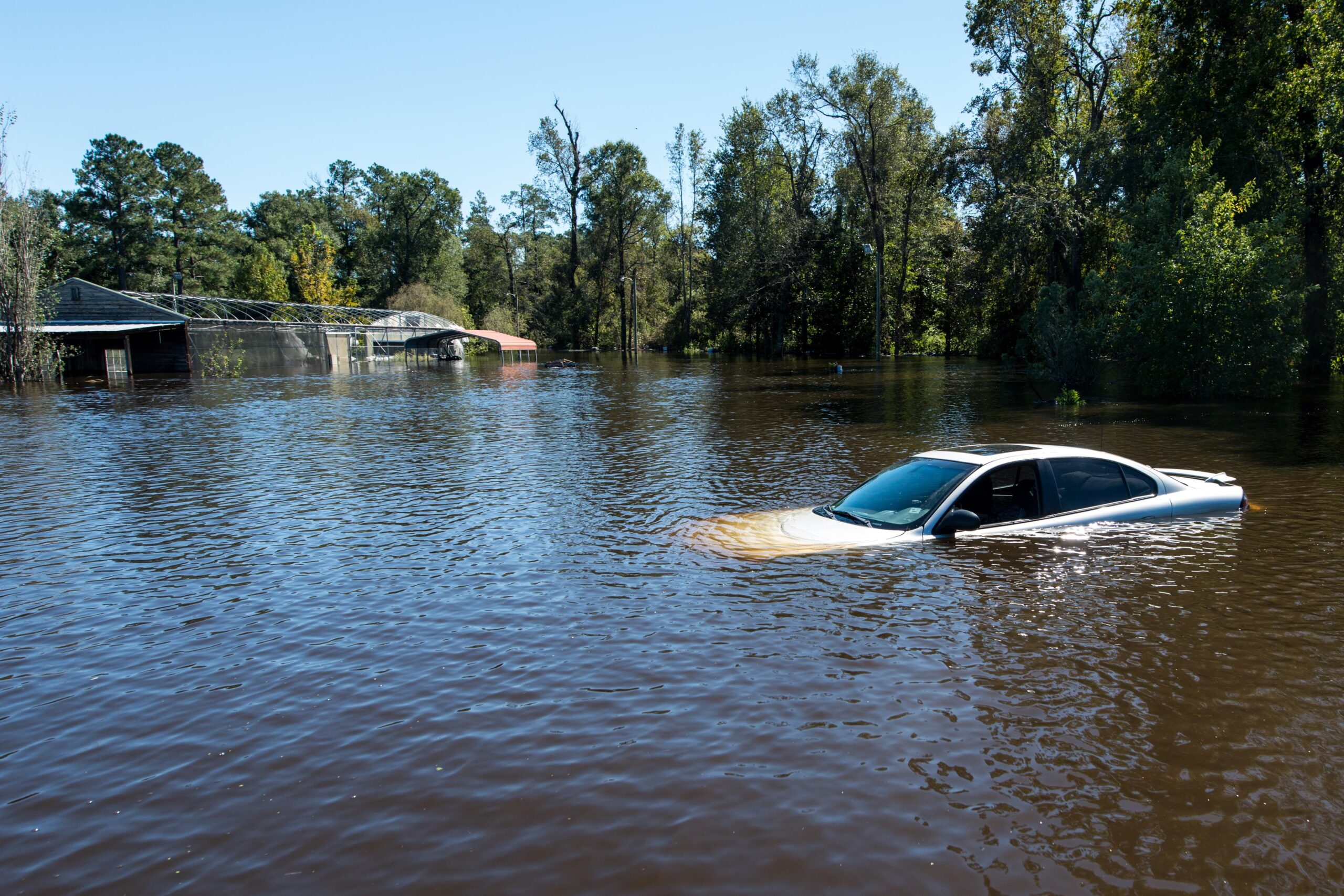
This is an area where, in any given year, there is a 1 percent or higher probability that a portion or all the property is likely to be flooded, potentially requiring flood insurance. The average cost of flood insurance in California is ~$900 annually and varies depending upon location and the base flood elevation.
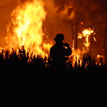
This is an area that has been identified by the state of California’s Department of Forestry and Fire Protection as having a high or very high probability of being affected by wildfire. These are areas where either the state or a local jurisdiction bears the responsibility for fire suppression and prevention. Areas covered by local jurisdictions are called Local Responsibility Areas (LRAs). Homeowners in High or Very High Fire Hazard Severity areas must adhere to specific requirements regarding defensible space, which is the buffer between a structure and the surrounding area.
U.S. Department of the Interior U.S. Geological Survey
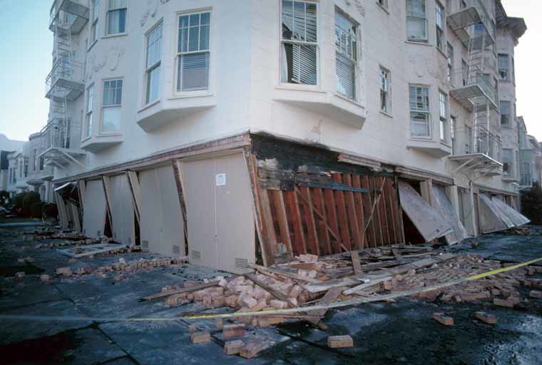
Also known as the Alquist Priolo Fault Zone, these areas are mapped by the California Geologic Survey. The maps are created by defining areas around active faults – an active fault being one that has ruptured in the last 11,000 years. Regulations prohibit building a structure within 50 feet of an active fault when it has the potential for surface rupture.
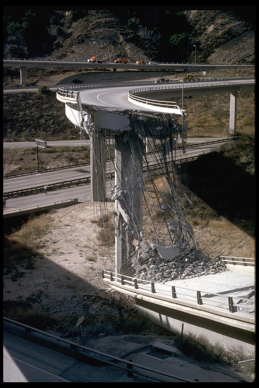
These are areas where the weak soil/materials make them prone to experience liquefaction during seismic shaking. When the ground liquefies in an earthquake, sandy or silty materials saturated with water behave like a liquid, causing pipes to leak, roads and airport runways to buckle, and building foundations to be damaged.
Also referred to as Formerly Used Defense Sites (FUDS). These locations have been identified as requiring cleanup and restoration from the potential contamination that remains on these properties. The sites range in size anywhere from less than an acre to thousands of acres. The Army Corp of Engineers is responsible for the management of this program.
These areas have been identified by an Airport Land Use Commission (ALUC) as being in proximity to, and affected by, an airport. ALUCs are established in every county that contains an airport within its jurisdiction.
San Francisco Bay Conservation and Development Commission (BCDC)
The BCDC is the federally designated state coastal management agency for the San Francisco Bay segment of the California coastal zone. Land within its jurisdiction is subject to special regulations, restrictions, and permit requirements.
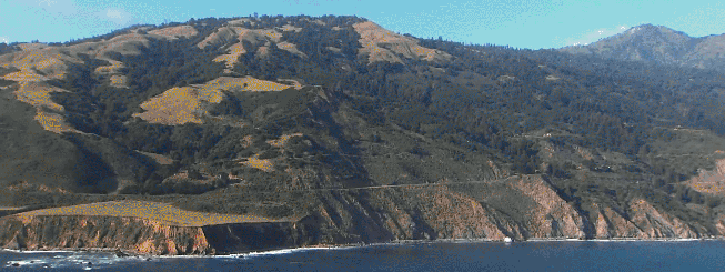
Running along California’s Pacific Coast, this area is overseen by the California Coastal Commission (CCC) along with coastal cities and counties. The CCC is responsible for planning and regulating the use of land and water in this area.
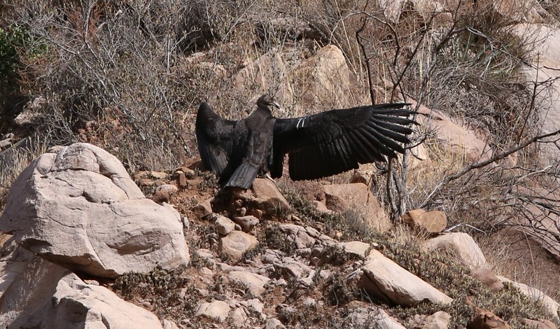
Endangered or threatened species as identified by either the US Fish and Wildlife Service or the California Department of Fish and Wildlife require specific environments in which to recover and reproduce. These areas are called critical habitats.
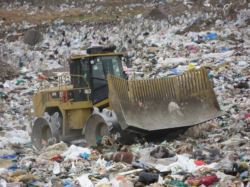
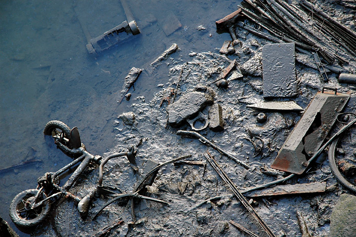
The California’s Office of Environmental Health Hazard Assessment maintains an inventory of the solid waste facilities, operations, and disposal sites which includes landfills, transfer stations, material recovery facilities, composting sites, transformation facilities, waste tire sites, and closed disposal sites. Some landfills accept only municipal solid waste, while others are approved to receive a variety of industrial and agricultural hazardous wastes. While properly designed and operated landfills may minimize environmental contamination, some landfills have been found to pollute surface and subsurface water supplies.
Comprehensive Environmental Response, Compensation, and Liability Information System (CERCLIS)
EPA
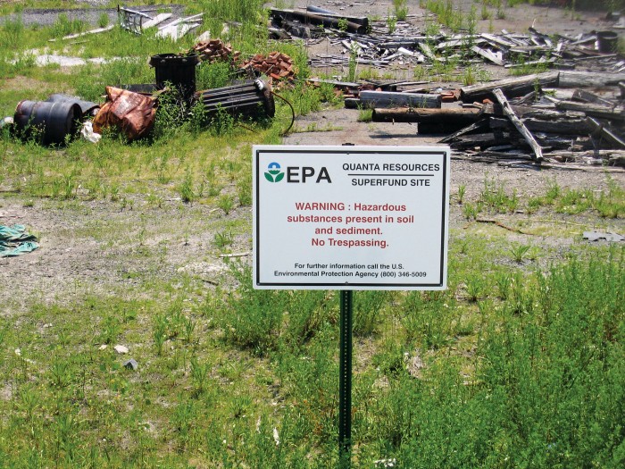
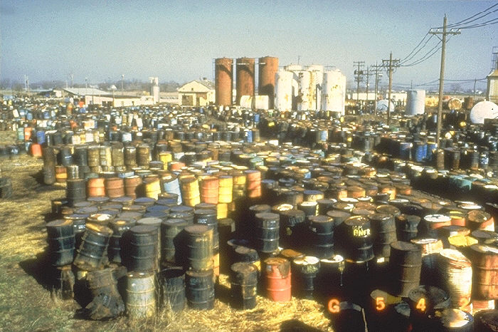
CERCLIS is a database of hazardous waste sites which is part of the Environmental Protection Agency’s (EPA) Comprehensive Environmental Response, Compensation, and Liability Act (CERCLA) program. Also known as Superfund, this program is responsible for cleaning up contaminated land.
Managed by the California Department of Toxic Substances Control, the state Superfund program cleans up sites of toxic waste where there is, or the potential for, imminent and substantial threat to human health and/or the environment.
The NPL is the list of sites of national priority among the known releases or threatened releases of hazardous substances, pollutants, or contaminants.
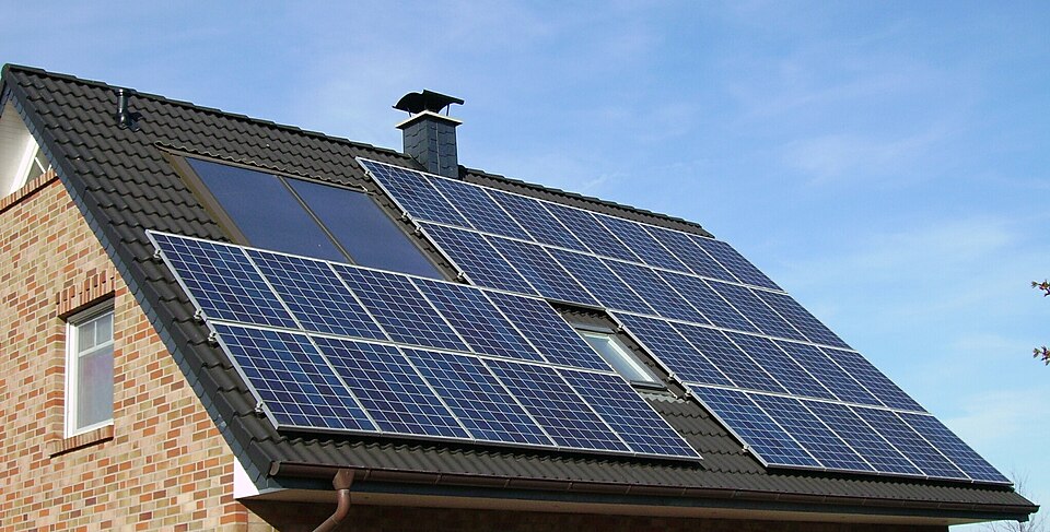
Commonly known as Property Assessed Clean Energy (PACE) bonds, these are contracts homeowners enter to finance energy efficiency, water conservation and solar energy improvements that are repaid as assessments on their property tax bills.
Direct Levy & Special Assessment taxes
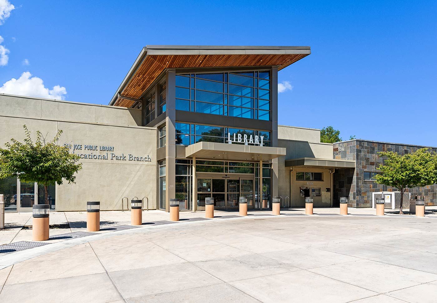
San Jose Public Library
These are the charges found on the property tax bill that are in addition to the Ad Valorem taxes and are assessed from voter approved bonds. They finance many things like flood control, pest suppression, weed and hazard abatement, library services etc.
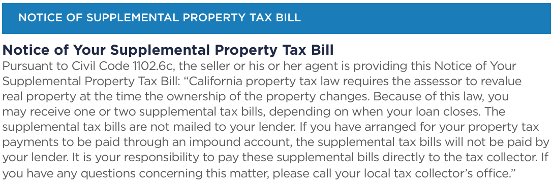
Supplemental taxes
SUPP
Changes in ownership or completed new construction are referred to as ‘supplemental events’ and result in supplemental tax bills that are in addition to the annual property tax bill. The increase (or decrease) in assessed value resulting from the reappraisal is reflected in a prorated assessment (a supplemental bill) that covers the period from the first day of the month following the supplemental event to the end of the fiscal year (July 1 through June 30).
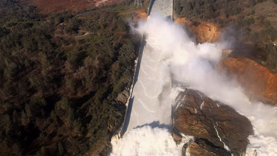
Dam Inundation/Potential Flooding
William Croyle California Department of Water Resources
This is an area that will experience flooding because of a full or partial dam failure, or the failure of one of its secondary structures like a spillway. Unlike SFHZs there is no mandate to carry flood insurance, however if you do want insurance protection be sure it covers flood damage from a dam because most standard SFHZ flood policies do not carry this type of protection. Learn more about estimating the cost of damage from a dam flood, below.
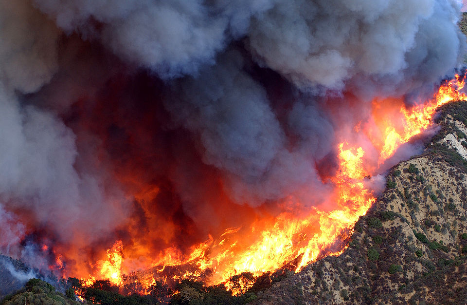
A Wildland Area That May Contain Substantial Forest Fire Risks
U.S. Air Force photo by Senior Master Sgt. Dennis W. Goff
Also known as a State Responsibility Area (SRA), this is an area where the state of California’s Department of Forestry and Fire Protection is financially responsible for fire suppression and protection. The SRA does not include incorporated cities or Federal lands. Homeowners in SRAs must follow defensible space guidelines.
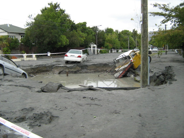
These maps, created by the California Geologic Survey, identify areas where there is a likelihood of an earthquake-induced landslide because of the weak soil/materials and sloped terrain. A landslide occurs when a slope becomes unstable.
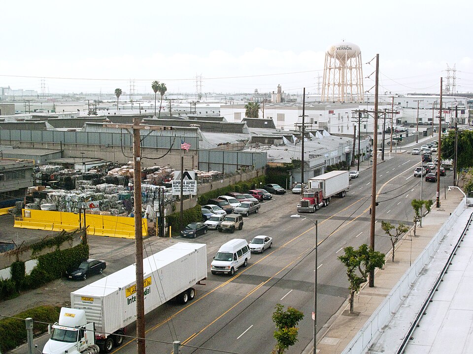
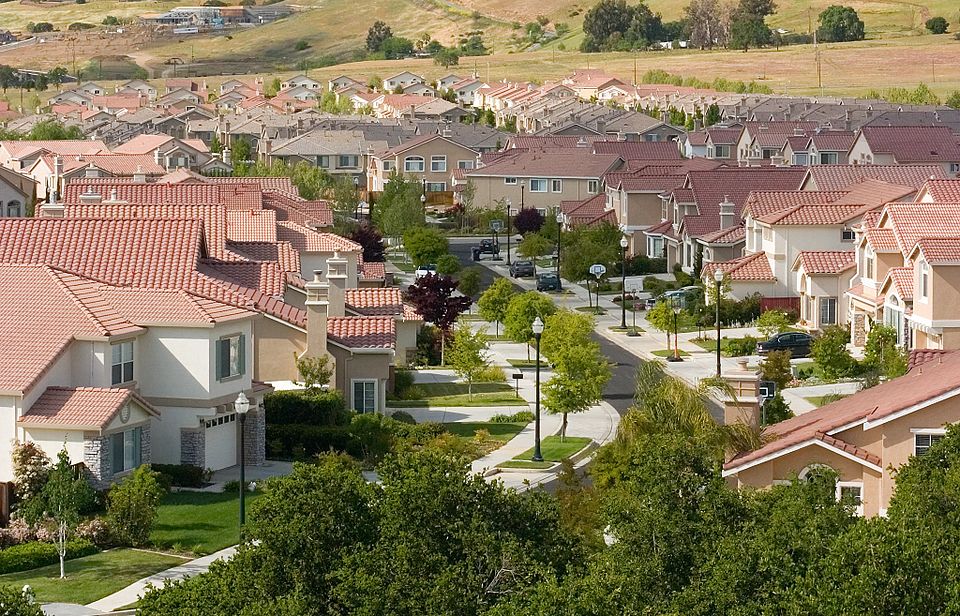
This is about how an area is zoned based upon the city’s or county’s zoning map. Areas zoned for commercial, manufacturing or industrial uses tend to experience higher traffic, more noise and more air pollution.
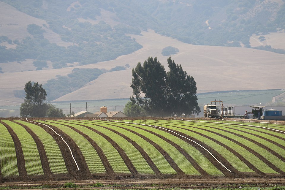
Important Farmland
Pacific Southwest Region USFWS
These are areas that have been designated by the California Department of Conservation’s Division of Land Resource Protection because they have been used for irrigated agricultural production and the soil meets specific criteria.
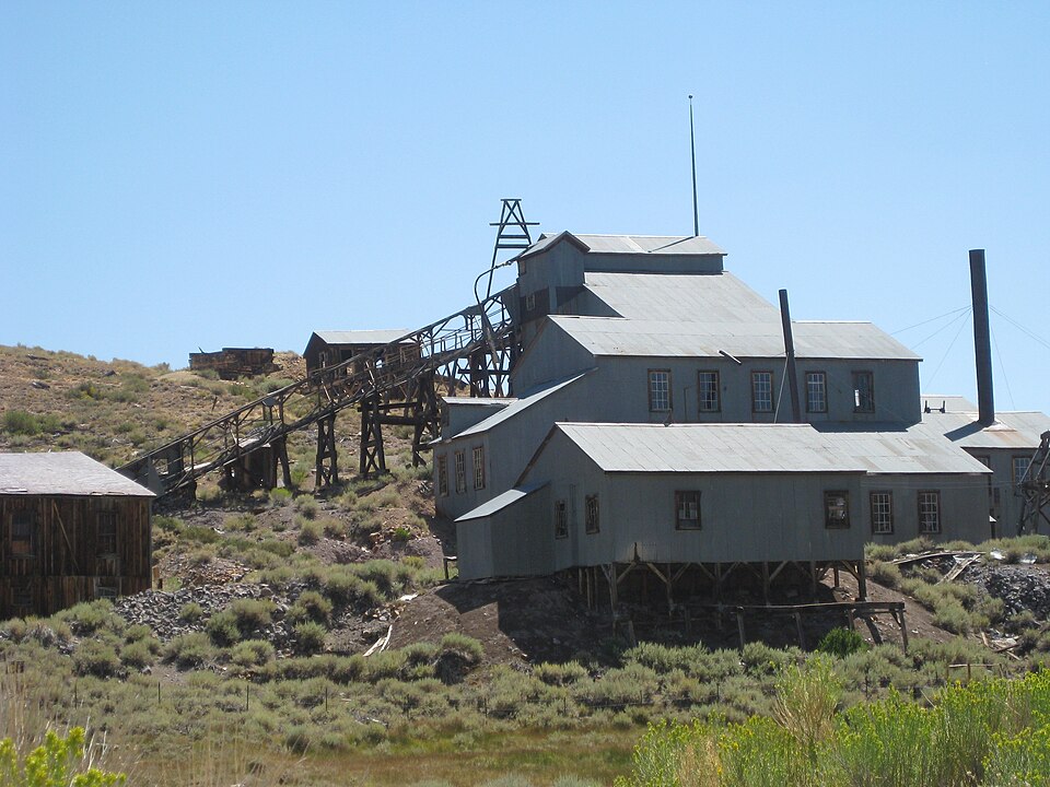
California is home to 700 active mines which produce materials like sand, gravel, diatomite and sodium sulfate. The Department of Conservation’s Division of Mine Reclamation is responsible for overseeing mining activities.
These are areas that lie within a natural hazard like flood, fire and earthquake that have been identified on a city or county map that is different than the data available from the state of California.
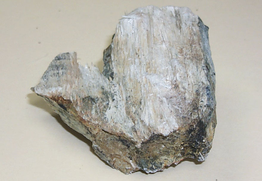
Naturally Occurring Asbestos
CA Department of Conservation/California Geologic Survey
These are areas where specific rock formations create asbestos. If disturbed the asbestos can become aerosolized which can then be inhaled and is harmful.
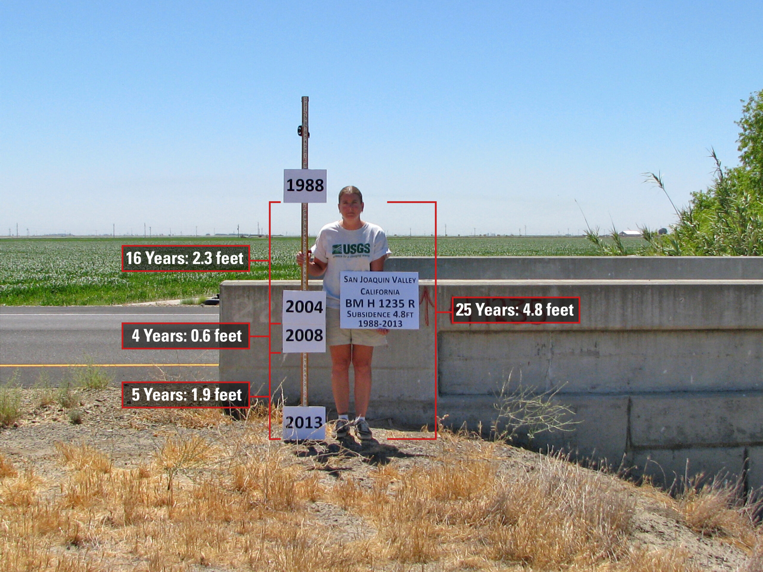
California experiences subsidence which is the lowering of the earth’s surface caused primarily from ground water pumping which is done due to the high demand for water from California’s large agricultural industry.
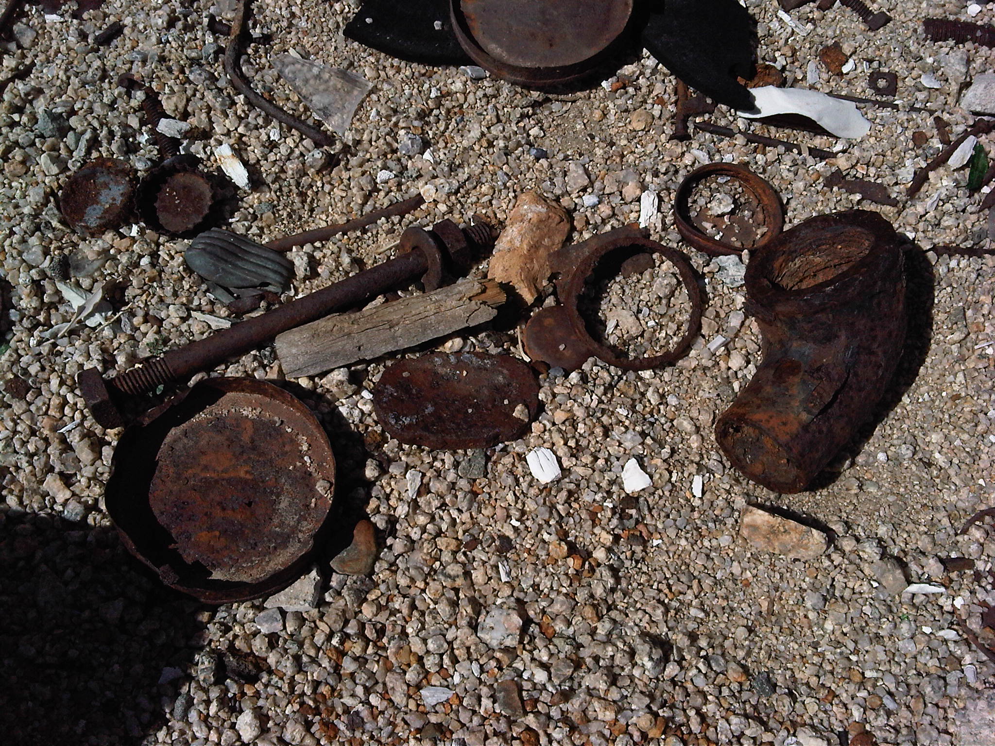
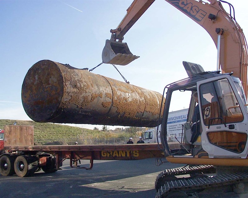
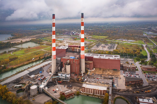
The State Water Resources Control Board maintains a list of reported leaking underground storage tanks (LUST) including their attached pipes. LUSTs are a considerable source of petroleum contamination in groundwater which poses various potential threats to health, safety, and the environment.
US Department of the Interior, Bureau of Land Management Division
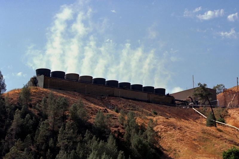
A geothermal production well produces fluid heated by the natural heat of the Earth. Very hot geothermal fluids may be used for electrical power generation. Cooler (but still quite hot) geothermal fluids are used for projects such as space heating, aquaculture, snow melting, food processing, dehydration, and hot tubs and spas.
These are tax districts created to finance local infrastructure projects, services and/or maintenance. These districts are created with the approval of two-thirds of voters, and once passed allows a tax to be assessed on the residents benefiting from such district.
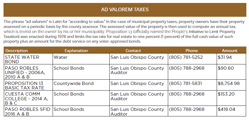
Ad Valorem taxes
These are taxes where the amount of the charge is based on the assessed value of the land, structure(s) and in some cases personal property. Ad valorem taxes are the major source of revenue for state and municipal governments.
Exemptions/Exclusions
MARELBU
Certain entities, individuals and items are considered exempt and therefore excluded from taxation for the purpose of calculating total assessed value for Ad Valorem taxes. Examples of some exemptions are homeowners, veterans, governments, and churches.